Sunday, November 20, 2011

***Late-Season Severe Outbreak Taking Shape***

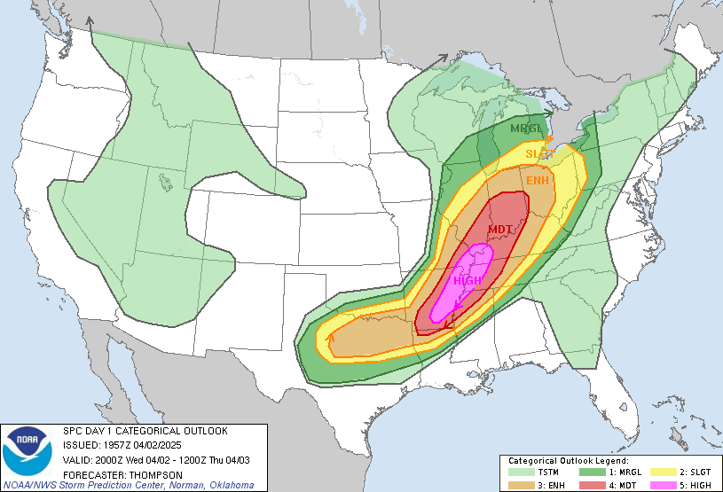
A late season multi-day severe weather event is taking shape for parts of the South and Southeast for Monday-Wednesday.  Moisture from the Gulf, along with ample wind shear, will return to TX, AR, and OK.  These will provide the necessary fuel for significant severe weather with tornadoes, damaging winds, and destructive hail all becoming likely.  The primary threat areas for Monday will be over much of Central/Northeastern TX, up through Southern OK and Western AR. Tuesday will bring a more broad threat with severe storms possible through much of the mid/lower MS valley.  The cold front will continue East bringing the threat all the way to the Carolinas.  Many Watches and Warnings are anticipated so be sure to check back and stay tuned to local forecasts for updates.  Follow me on Twitter for up to the minute updates at @MaximumWeather.  These storms will have the potential to cause significant damage to life and/or property, be sure to have an emergency plan in place in case the weather turns quickly. -BW
Friday, October 28, 2011

***Early Season Snowstorm Taking Shape in the Northeast***

A rare late October snowstorm is taking shape over parts of the Northeast.  A swath of snow will fall through many states with an estimated 25 million people potentially affected.  Snowfall totals will very greatly with 8-12" amounts inland being common with some locally higher amounts.  The snow will be wet and heavy with the potential to create dangerous travel conditions and widespread power outages.  Expect major airport delays for anyone planning to travel by air.  If you are affected by watches and warnings be sure to have an emergency plan in place, stay tuned to local media, and listen NOAA weather radio for the latest updates for your area.  Check back for updates....

Tuesday, October 25, 2011

Hurricane Rina ***Updated 10.25.11***


Images: NOAA/NWS/NHC
Hurricane Rina is now a very strong Category 2 hurricane with maximum sustained winds of 110mph and a central pressure of 970mb and falling.  Hurricane warnings are in effect for the eastern Yucatan coastline including popular vacation spots such as Cozumel, Playa Del Carmen, and Cancun.  Rina is forecast to further strengthen over the next 48hrs into a major Category 3 storm.  Any preparations to preserve life and property must be rushed to completion as conditions will quickly deteriorate in warned areas.  A storm surge of 5-7ft is anticipated along immediate coastal areas.  Rina will also bring 8-16 inches of rain which will most certainly cause flash flooding.  Conditions will begin to decline Wednesday afternoon/evening through Thursday.  This is a dangerous storm, if you are in the projected path have an emergency plan.  Updates will come as conditions warrant. See http://www.nhc.noaa.gov/ for more detailed information.

Monday, October 24, 2011

Hurricane Rina ***UPDATED 10/24/11 8:30pm CDT***

Image: NOAA/NWS/NHC
Hurricane Rina is currently gaining strength in the Southwest Caribbean tonight.  Rina quickly gained strength early this morning and gained hurricane strength winds mid-morning.  Current strength is Category 1 with winds max sustained at 75mph.  Movement in WNW at 3mph and the last pressure reading was 989mb and falling.  Rina is expected to continue to gain strength over the next 48hrs. at which time it could be a "major" Category 3 hurricane.  Locations currently in the track include Cozumel, Playa Del Carmen, and Cancun.  Some model uncertainty does exist so check back for updates. -BW 

Lightning

Lightning
Photo: Matt Sauerbrey 8.11.07